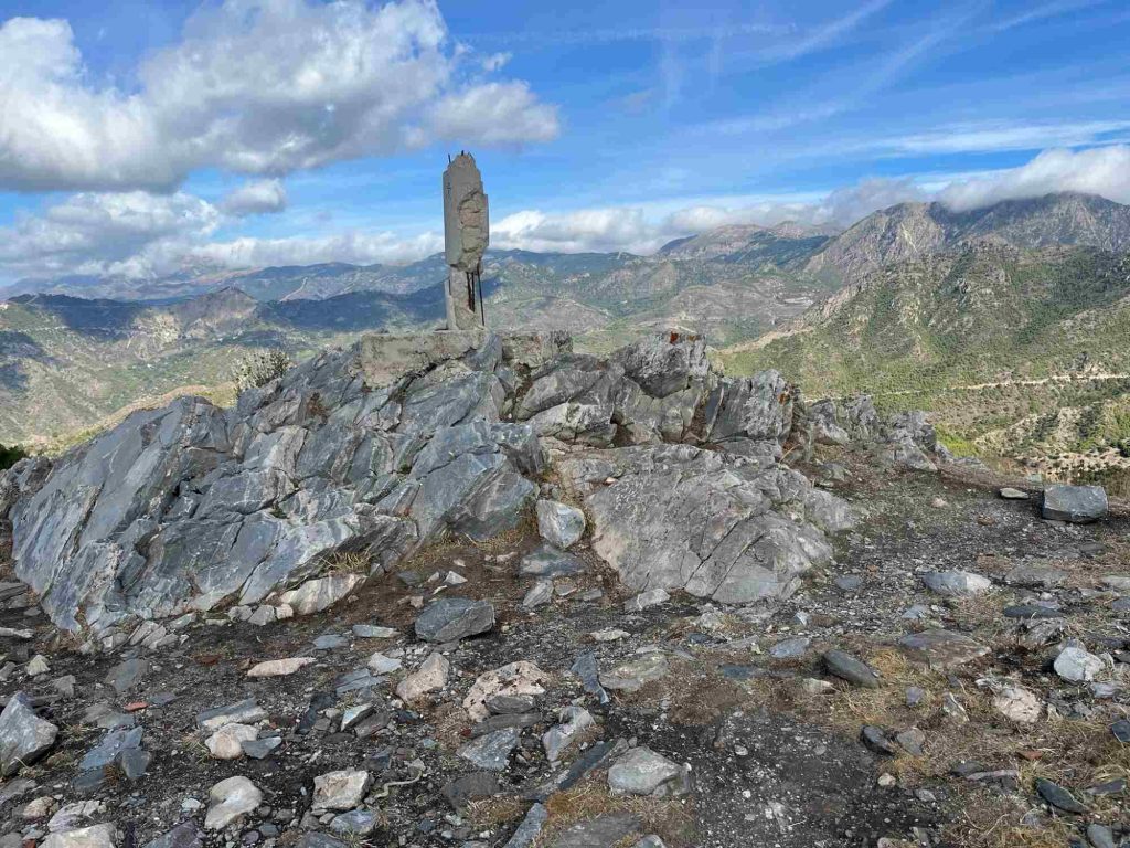
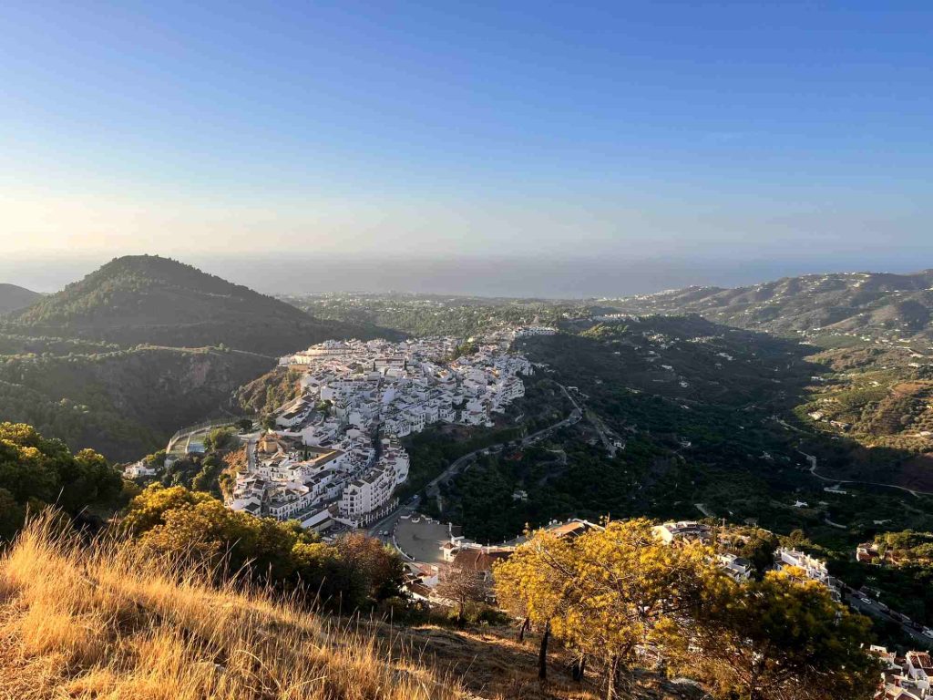
El Fuerte occupies a special place in local legend due its role in the Rebellion of the Alpujarras in the 1560s. With steep slopes down on all sides, it offers panoramic views of Frigiliana, the Mediterranean and the higher peaks of the Sierra Almijara.
Level It is not a long hike, but the relentless, steep climb makes it much tougher than you might expect. Make sure you allow enough time and take plenty of water.
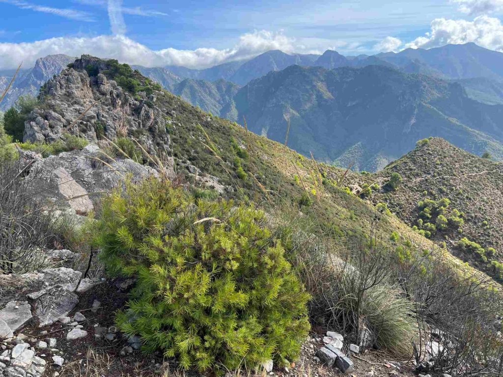
The terrain is rocky, but there is a decent path. There isn’t much in the way of signposting, but it’s relatively easy to follow the route up the ridge.
When to go Due to the very steep climb, it’s best to go in autumn, winter or spring. In hot weather, start as early as possible in the morning, and bear in mind that it can be very humid.
Water Take water with you.
Transport
By Car: From the A7 coastal motorway between Málaga and Motril, take exit 733 and follow signs for Frigiliana. When you reach the edge of Frigiliana, keep left at the roundabout (3rd exit). At the next roundabout, do a complete 360° turn and either park in the underground car park or look for a space along the road you came up.
By bus: There are regular buses between Nerja and Frigiliana that take about 10 minutes. Nerja is accessible by bus from Málaga and Granada. The walk starts right by the bus stop.