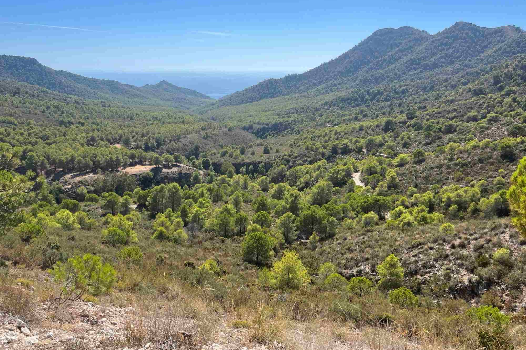
Descend into the narrow river valleys where the Higuerón and Chillar flow down towards the sea, and cross a series of jagged ridges with great views of the surrounding countryside and down to the Mediterranean. After the final steep climb, you descend on a forest track to Nerja Cave near Maro. This route forms part of the GR-249 Gran Senda de Malaga, a long-distance trail which does a circuit of Malaga province.
The River Chillar can be dangerous to cross if the water level is high. Take great care at all times, and try to ask for advice locally before setting out.
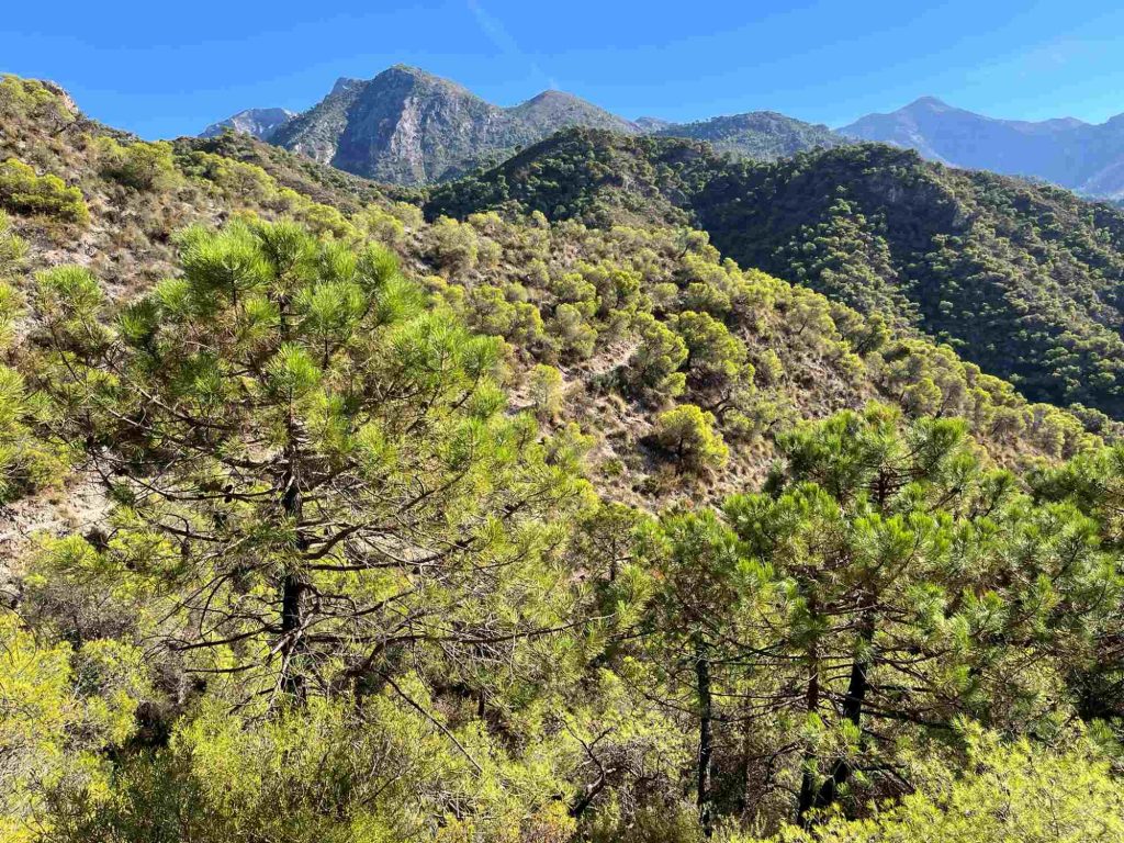
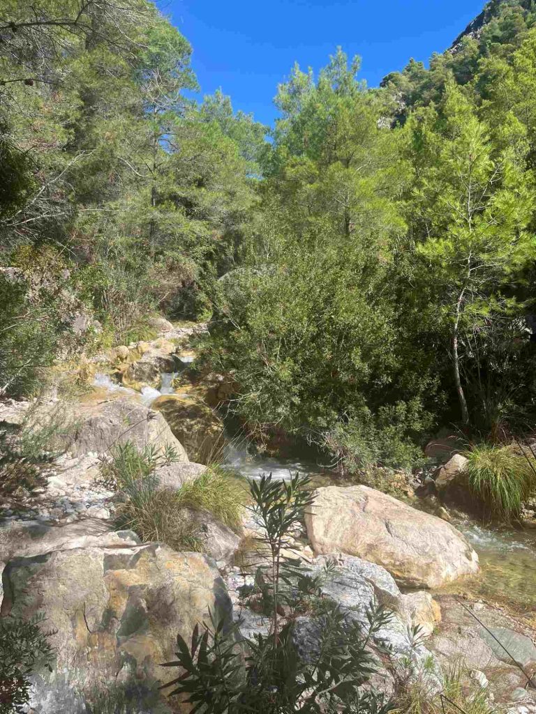
Level There is more downhill than uphill, but the steep, rugged terrain means it’s much tougher than you might expect, particularly in hot weather. Make sure you allow enough time and take plenty of water. The first part of the route is on steep, rocky paths, while the descent towards Maro takes a much more forgiving dirt track.
The route is well marked with red and white parallel lines. Note that the distances to Nerja on the signposts refer to the distance to Nerja Cave near Maro. It’s about another 4 km on to Nerja itself, making it 18.5km in total from Frigiliana.
When to go It’s possible all year round, but in hot weather, start as early as possible in the morning, and bear in mind that it can be very humid.
Water Take plenty of water with you for the tough first half of the route. You can refill your bottles at the picnic area on the long descent towards Maro.
Transport
By Car: From the A7 coastal motorway between Málaga and Motril, take exit 733 and follow signs for Frigiliana. When you reach the edge of Frigiliana, keep left at the roundabout (3rd exit). At the next roundabout, do a complete 360° turn and either park in the underground car park or look for a space along the road you came up.
By bus: Nerja is accessible by bus from Málaga and Granada. There are regular buses between Nerja and Frigiliana that take about 10 minutes. Click here for more info and links to current timetables. The walk starts right by the bus stop.